
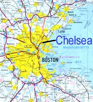
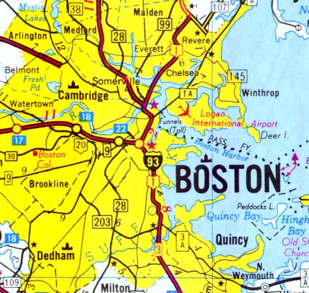
CHELSEA, Massachusetts
|
MAPS OF CHELSEA THROUGH |
|
|
1 |
Map of The |
|
2 |
Map of The Indian Trails in Winnisimmet and |
|
3 |
Map of Winnisimmet Village Early 1700’s |
|
4 |
Map of Boston Harbor in 1711 |
|
5 |
Map of the Bellingham Farms |
|
6 |
Map of Chelsea in 1739 |
|
7 |
Map of Winthrop showing |
|
8 |
Map of the Bill Farm on Pullin Point (Winthrop 1690) |
Return to Main Page